Race data
Terrain
Mountain
Difficulty
Intermediate
Distance
1 modalities
Trail 13.5K
- Distance
- 13.5 km
- Elevation Gain
- D+ 800m
- Max Time
- -
| Modality | Distance | Elevation Gain | Max Time | Price |
|---|---|---|---|---|
| Trail 13.5K | 13.5 km | D+ 800m | - | - |
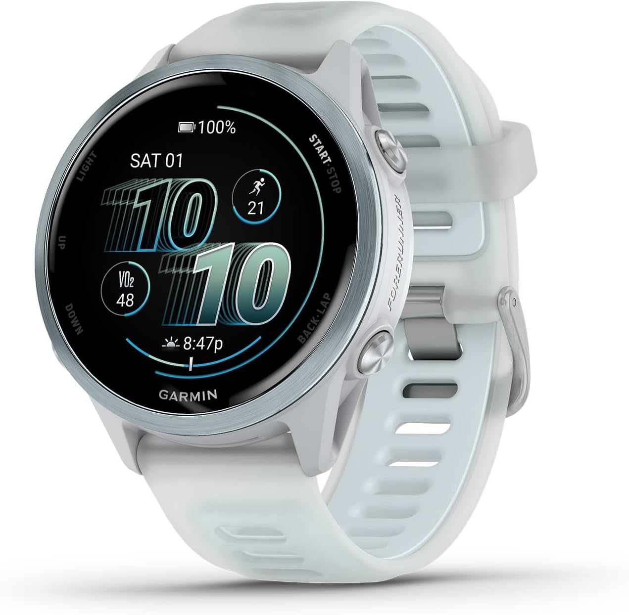 Will your watch battery last the ~3 h of Trail Tahal?Worked out for the longest course (13.5 km). See which watches reach the finish with GPS on and which die on the way.Check my watch Check my watch
Your checklist for Trail Tahal
What you need, category by category, with our #1 pick for this race. Tick what you already have.
0 of 6 ready
GPS watch
Done, you already have it
View on Amazon →(opens in a new tab)Garmin Forerunner 570
Full-color topo maps, a first for the Forerunner line
Downside: Shorter battery life than a Forerunner 965 with maps on
Gear
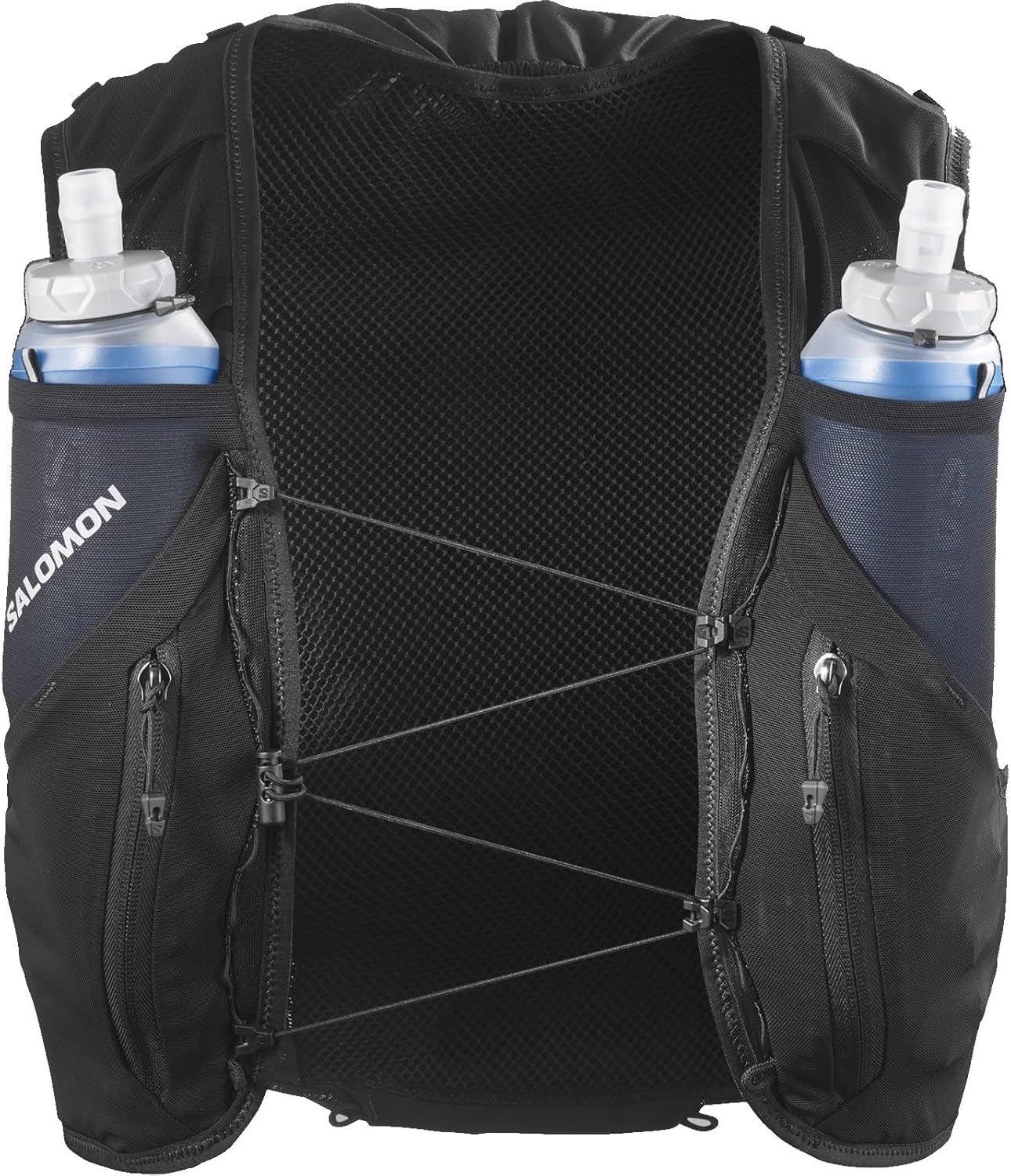
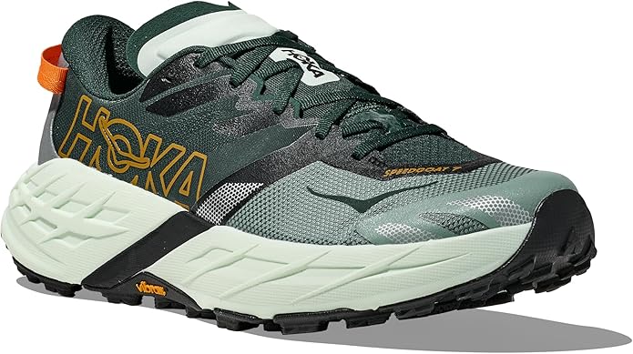
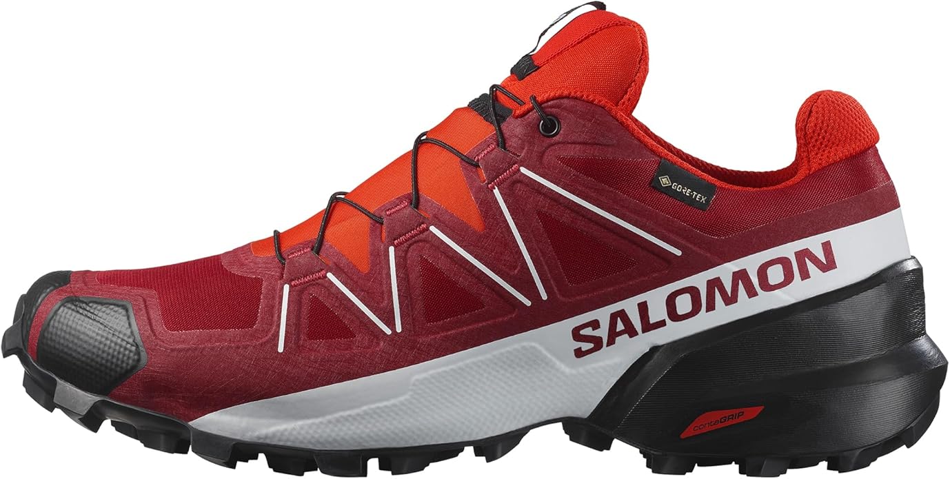
Shoes with good grip: Filabres paths and stony terrain
Done, you already have it
View on Amazon →(opens in a new tab)
Nike Ultrafly
ZoomX foam: exceptional energy return inherited from the Vaporfly
Downside: High price (190 EUR)
Nutrition
Eat light 2-3 hours before the 17:00 start
Done, you already have it
View on Amazon →(opens in a new tab)
Maurten Gel 100
Tecnología de hidrogel: excelente tolerancia gástrica
Downside: Precio elevado respecto a otros geles
Sun Protection
Sweat-resistant SPF50 on face, neck and ears
Done, you already have it
View on Amazon →(opens in a new tab)
ISDIN Fotoprotector Fusion Water SPF 50+
Ultralight texture, feels invisible on skin
Downside: Small format (50 ml), may run short on ultras
Body Care
Sunglasses for the afternoon light
Done, you already have it
View on Amazon →(opens in a new tab)
Julbo Aerospeed
Photochromic lenses: adapt from forest to summits
Downside: Higher price compared to non-photochromic glasses
Car Rental
Pick it up at Almería Airport
Done, you already have it
View on Amazon →(opens in a new tab)
DRIVALIA Alquiler de vehículos por Suscripción CarCloud Country Plus
Trip logistics
Registration, travel and insurance: what you should have sorted before race day.
Affiliate links: if you buy, we earn a commission at no extra cost to you.
Seasonal kit

Rain and mud at Trail Tahal: pack this kit
Grippy shoes, rain jacket, gaiters and blister protection for a wet race.
See the full kit : Rain and Mud Trail Running Kit 2026: What to Bring to a Wet Race3 weeks to Trail Tahal: get your kit ready
Buying guides with the best value for money, picked for this kind of terrain.
Swipe to see all 4 comparisons
Historical weather
What to wear at 15 °C: guide and kit →
Typical weather for the race date (10-year average)
Temperature
10°C – 19°C
Average 14°C
Rain
27%
2.1 mm avg
Wind
13 km/h
max. average
Sunshine hours
9h
daily average
Forecast for 24 October
Weather forecast from Open-Meteo (may change until race day)
Trail Tahal
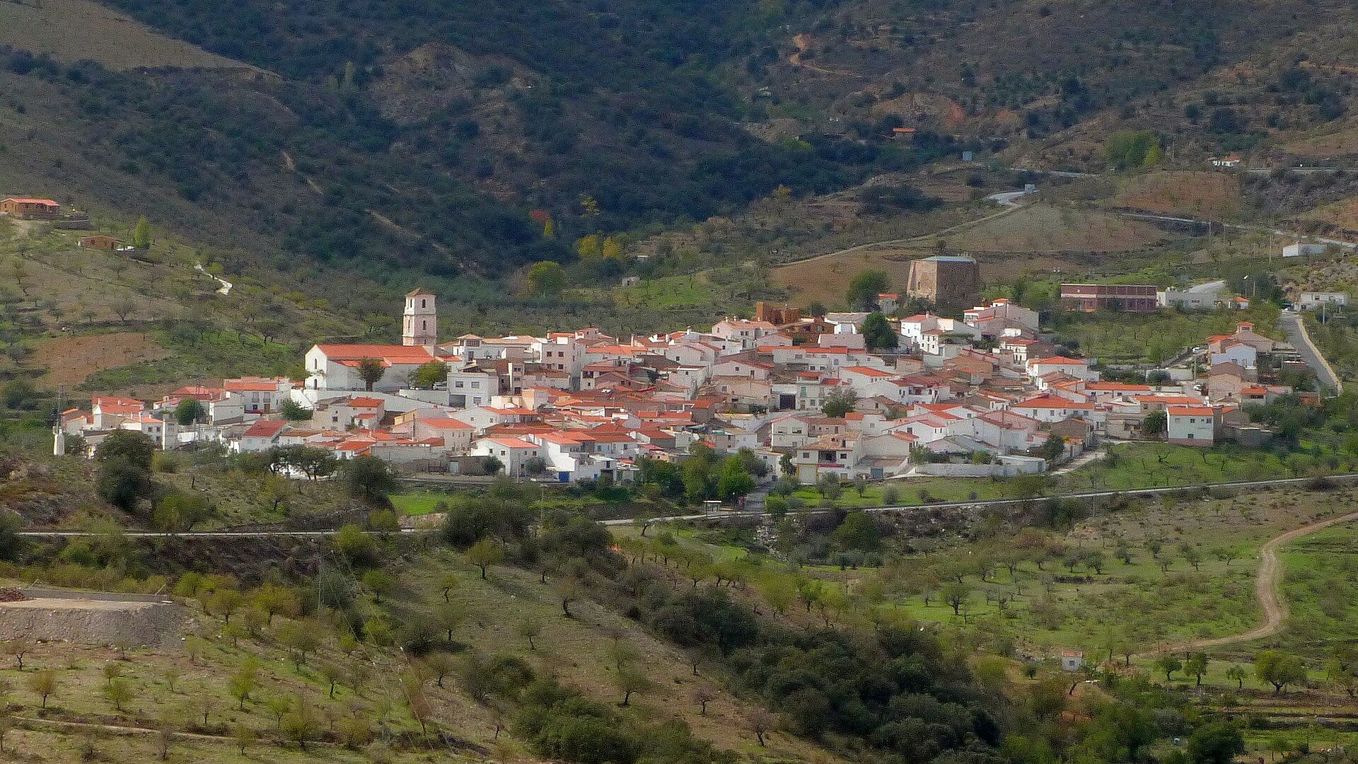
The Trail Tahal is a mountain race held in Tahal, a small municipality in the Sierra de los Filabres in Almería province. The 2026 edition takes place on Saturday 24 October, starting at 17:00 from Avenida Tierno Galván, and it is approved by the Andalusian Mountaineering Federation.
A route up to Collado García
It is 13.5 kilometres with 800 metres of climbing. The route passes some of the town’s most emblematic places on tracks and paths until it reaches the Collado García peak, with ascents and descents through the massif. There are aid stations at km 5 and km 9 and at the finish.
An afternoon race
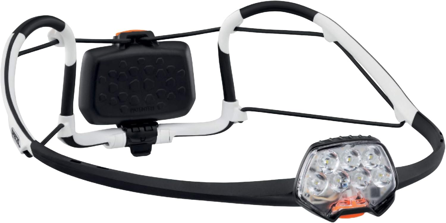
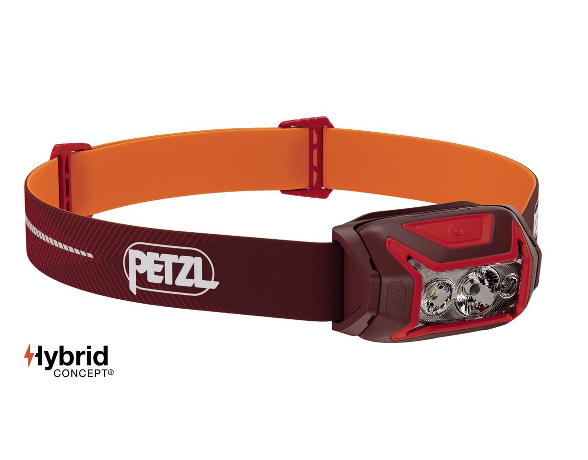
The 17:00 start makes it special: with the day already fading, part of the route is run in low light. Bring a headlamp and review the gear checklist before you set off. Bib collection is on the same day, from 14:15 to 16:45.
Tahal beyond the race
The Filabres offer a dry, open landscape very different from the Almería coast, and the Tabernas Desert is close. If you are looking for more races in the region, check the races in Andalusia and plan your season with the planner.
360Complete Pack
Registration for the Trail Tahal 2026
RegistrationRegistration closes on 22 October 2026. Bib collection is on race day, from 14:15 to 16:45.
Tips
- •Check the official town website (tahal.es) for the rules
- •Collect your bib in good time: the start is at 17:00
Where to stay for the Trail Tahal
AccommodationTahal is a very small village in the Filabres. For more choice, look in the wider area or in Almería city.
Tips
- •Book early: accommodation in the village is very limited
- •Almería city has hotels and services a little over an hour away
Gear for the Trail Tahal
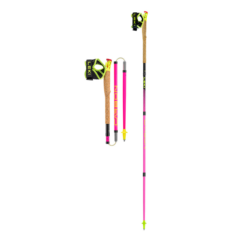
GearA mountain trail with 800m D+ in 13.5 km and a 17:00 start: part of the route may be run at dusk. Grippy shoes and a headlamp are key.



Tips
- •Shoes with good grip: Filabres paths and stony terrain
- •Headlamp or emergency light: the race ends in low light in October
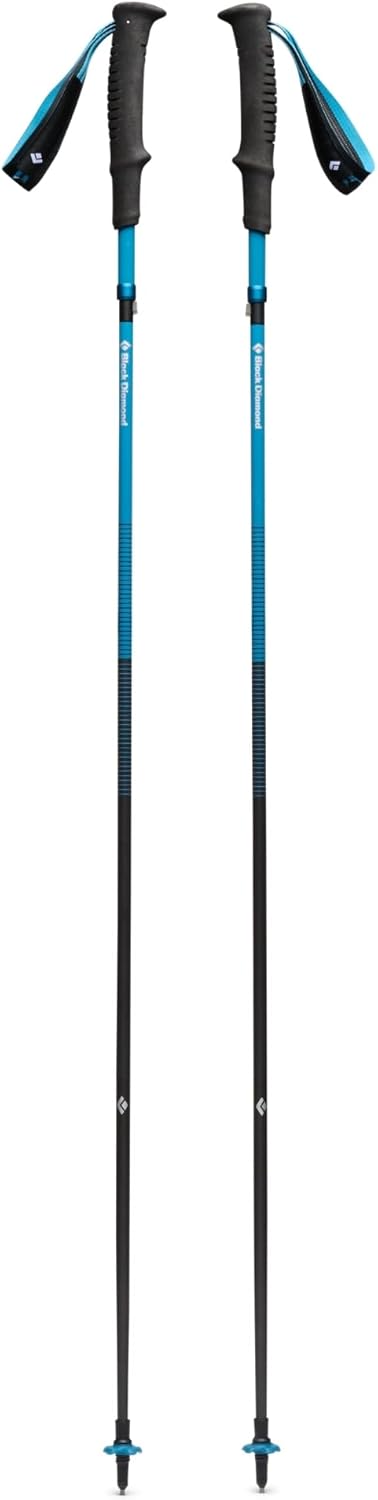
- •Poles are optional for the climbs to Collado García
Which shoes for Trail Tahal?
Which footwear fits based on the race's terrain and weather
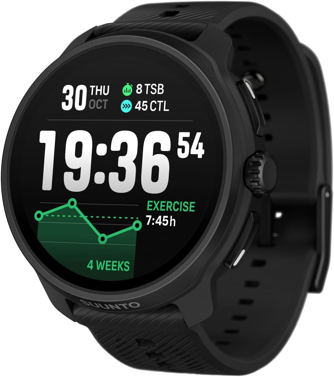
Which GPS watch for Trail Tahal?
Which watch has the battery to last based on your estimated finish time
Best Neck Gaiter (Buff) for Trail Running 2026: Comparison & Buying Guide
Comparison of the best neck gaiters for trail running in 2026: Buff Original, Midweight, Windproof, DryFlx, CoolNet UV+, Thermonet, HANKER and Salomon Merino. Which to pick based on sun, wind, cold or budget.
Best Thermal Base Layer for Trail Running 2026: Comparison & Buying Guide
The best thermal base layers for trail running in 2026: Odlo Active Warm Eco, Icebreaker Merino 200 Oasis, Craft Pro Hypervent, Under Armour ColdGear, Salomon Agile LS Tee and Odlo I-Thermic. Which to pick based on cold, sweat management, merino wool, compression or built-in wind protection.
Best Trail Running Gaiters 2026: 3-Way Comparison
Comparing the 3 best trail running gaiters in 2026: Salomon Trail Gaiters High, Salomon Trail Gaiters Low and TRIWONDER waterproof gaiters. Which to pick by terrain and budget.
Nutrition for the Trail Tahal
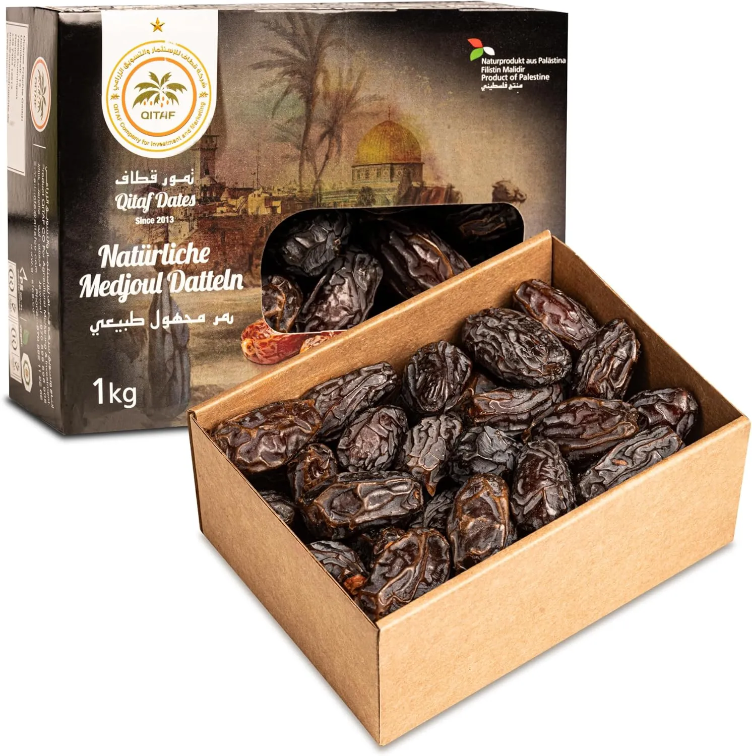
NutritionIt is about 13.5 km with plenty of climbing and an afternoon start. Hydrate well during the day and carry a gel for the climb.





Tips
- •Eat light 2-3 hours before the 17:00 start
- •A gel or bar before the climb to Collado García
Getting to Tahal
TransportTahal is in the Sierra de los Filabres, inland Almería province. A car is the best way to get there.
Tips
- •Almería Airport (LEI) is the reference
- •The mountain road calls for calm driving, especially when returning at night
Car rental for the Trail Tahal
Car RentalA car takes you from Almería to Tahal and lets you see the Filabres area and the nearby desert landscapes.


Tips
- •Pick it up at Almería Airport
- •Take the chance to visit the nearby Tabernas Desert
Sports insurance for the Trail Tahal
InsuranceA mountain race with paths, climbing and a finish around dusk. Check in the rules what the entry insurance covers.
Tips
- •Federation licence or day insurance if your entry does not include it
- •Travel insurance with sports cover if you come from abroad
Sun protection for the Trail Tahal
Sun ProtectionThe Filabres are a dry, sunny range. Even in an afternoon race, radiation is still high in late October.





Tips
- •Sweat-resistant SPF50 on face, neck and ears
- •Protect your lips with SPF balm
Body care for the Trail Tahal
Body CareStony terrain and descents punish the feet. Sunglasses, anti-chafe and blister plasters are basics.




Tips
- •Sunglasses for the afternoon light
- •Anti-chafe balm on feet and groin
- •Dry socks for after the race
Frequently Asked Questions
- When is the Trail Tahal 2026?
- On Saturday 24 October 2026 in Tahal (Almería). The start is at 17:00.
- What distance and elevation does the Trail Tahal have?
- It is 13,500 metres with 800 metres of climbing, with ascents and descents through the massif up to Collado García peak.
- When is bib collection?
- On race day, from 14:15 to 16:45.
- Are there aid stations?
- Yes. There are aid stations at km 5 and km 9 and at the finish. The route is approved by the Andalusian Mountaineering Federation.
Races similar to Trail Tahal
View all similar races →Swipe to see all 3 races
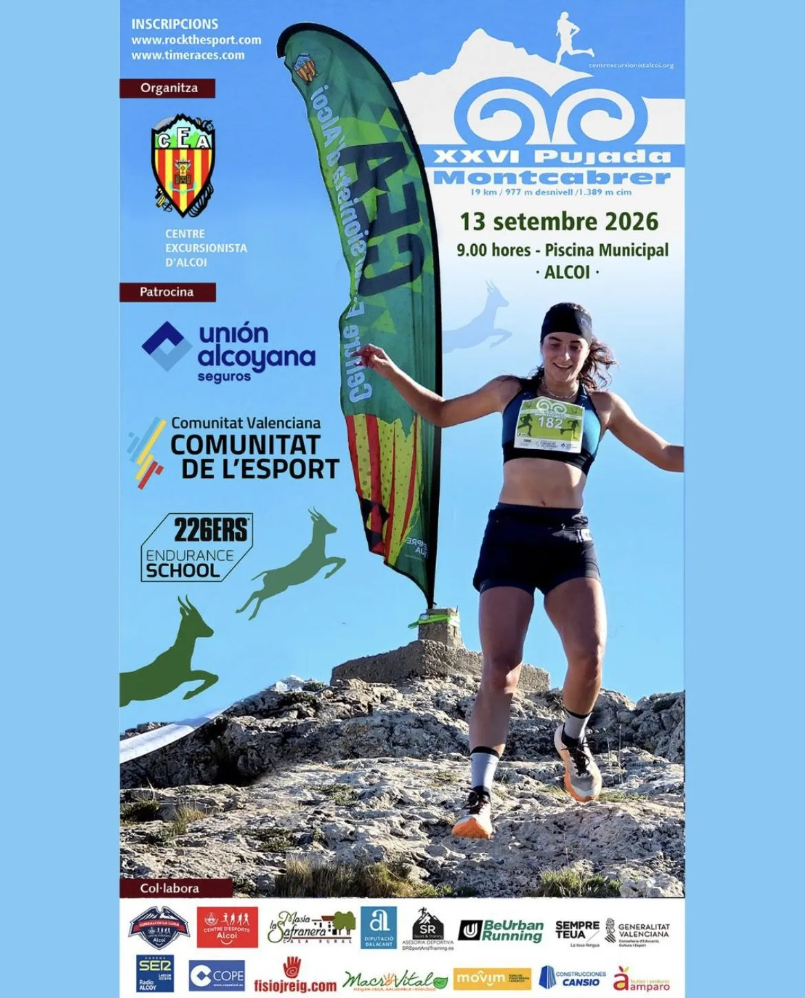 Photo: Agenda Alcoy13 Sept 2026Race finished
XXVI Pujada al Montcabrer
Alcoy
19K y 977m D+ desde Alcoy hasta la cima del Montcabrer — XXVI edición el 13 de septiembre de 2026
19kmD+ 977mIntermediateView Pack 360 Photo: Organización Crono Asperillas12 Sept 2026Race finished
Crono Asperillas
Casas del Castañar
Contrarreloj de montaña en el Valle del Jerte: 14,5 km y 740 m D+, solo 150 dorsales
14.5kmD+ 740mIntermediateView Pack 360 Photo: 19Tarrestnom65 (CC BY-SA 4.0)13 Dec 2026
Trail Dos Aguas – Subida al Pico del Ave
Dos Aguas
21K y 1250 m D+ hasta el Pico del Ave, el 13 de diciembre en Dos Aguas (Valencia)
11kmD+ 650mIntermediateView Pack 360
Do you organize a trail race?
Add it to TrailRunTemple for free. We build its page with the full Pack 360 (registration, accommodation, gear, nutrition and more) so runners find it and show up prepared.
Add my race for free