
Ajo, Bareyo
Trail Cabo de Ajo
Saturday, April 11, 2026
Date, registration & deadlines
Apr 11, 2026 · Check official website
Local guides
Race data
| Modality | Distance | Elevation Gain | ITRA | Max Time | Price |
|---|---|---|---|---|---|
| Trail Runners 22K | 22 km | D+ 800m | - | - | 15 EUR |
| Trail Hikers 20K | 20 km | D+ 500m | - | - | 10 EUR |
What you need
How long will it take you?
Estimate your race time based on distance, elevation and your runner level.
Historical weather
Typical weather for the race date (10-year average)
Temperature
10°C – 16°C
Average 13°C
Rain
37%
3.2 mm avg
Wind
20 km/h
max. average
Sunshine hours
9h
daily average
Gear recommendations
Bring a waterproof jacket (37% chance of rain)
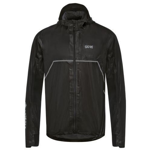
Gore Wear
Gore Wear R7 GTX Shakedry
Chubasquero Gore-Tex Shakedry ultraligero (110 g). Impermeabilidad total sin membrana interior, altamente transpirable. El referente para corredores de montaña.
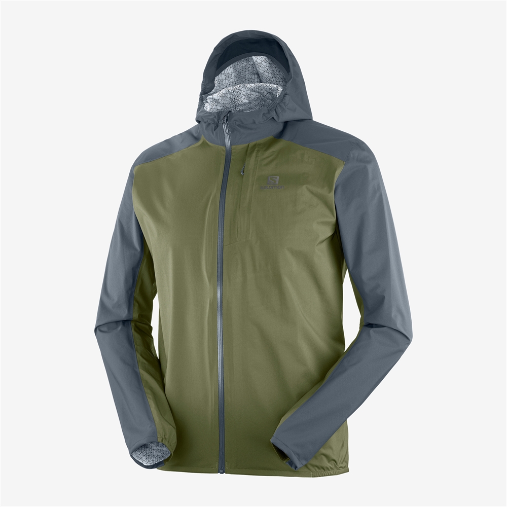
Salomon
Salomon Bonatti WP
Chaqueta cortavientos impermeable ultraligera (135 g). Costuras selladas, capucha ajustable y ventilación trasera. Se pliega en su propio bolsillo.
Bring thermal layers (low of 10°C)
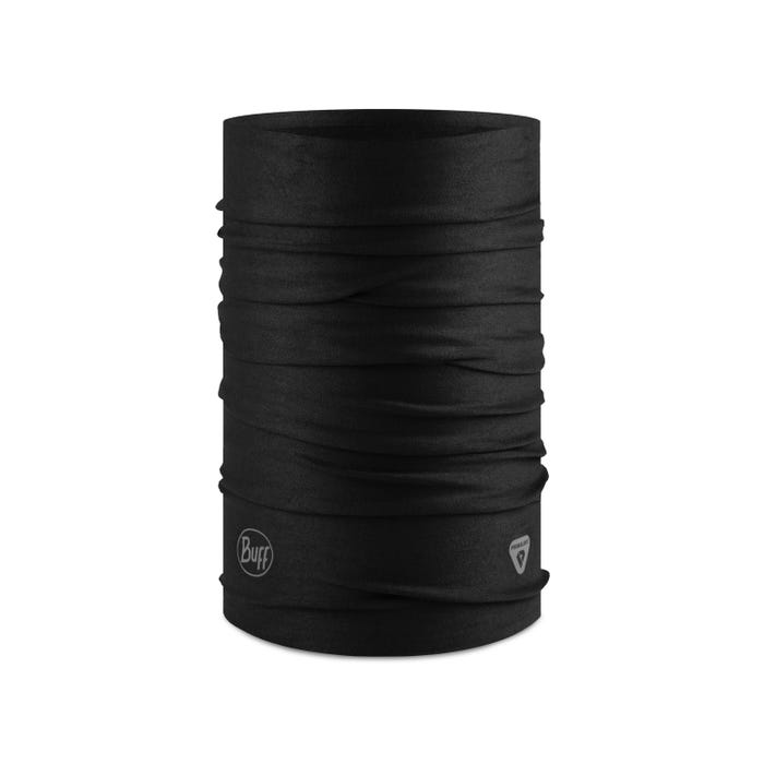
Buff
Buff Thermonet
Buff tubular térmico con tecnología Primaloft. Retiene el calor corporal, ultraligero y polivalente: gorro, braga, cinta. Ideal para alta montaña.
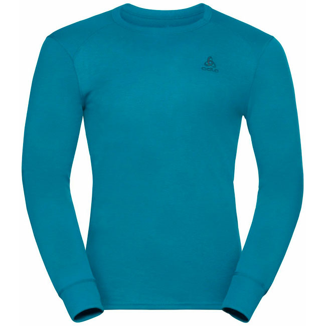
Odlo
Odlo Active Warm Eco
Camiseta térmica de manga larga con tejido reciclado y tratamiento antiolor. Regulación térmica activa, ideal como capa base en montaña.
Salomon
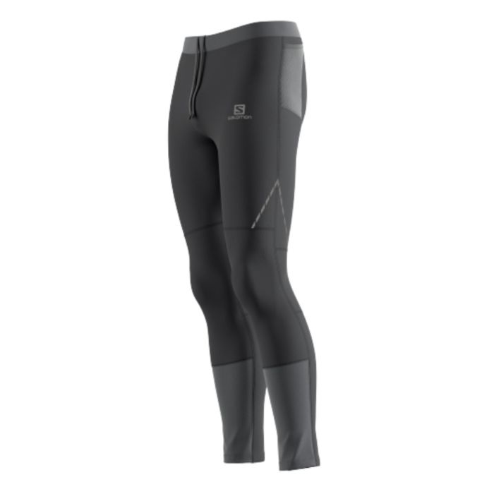
Salomon Cross Run Tight
Mallas largas de trail con tejido elástico y transpirable. Cintura ajustable, bolsillo trasero con cremallera. Protección contra el frío y la vegetación.
Salomon
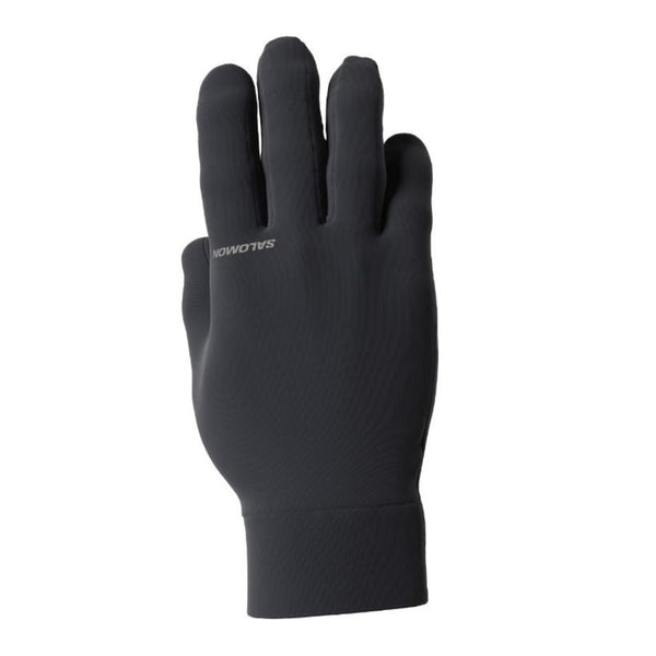
Salomon Cross Warm Glove
Guantes térmicos de running con palma antideslizante y puntas táctiles. Ligeros, cálidos y compatibles con bastones.
Forecast for April 11
Real-time data from Open-Meteo
Trail Cabo de Ajo
Trail Cabo de Ajo is a coastal trail race that runs along the cliffs and paths of Ajo (Bareyo, Cantabria). Billed as “a race between cliffs, sea and adventure”, it has established itself as an unmissable date on the Cantabrian trail calendar.
The route
The route starts from Avenida Benedicto Ruiz in Ajo and runs along the spectacular coastline of Cabo de Ajo, the northernmost point of Cantabria. Runners tackle 22 km with 800 meters of elevation gain, while hikers enjoy 20 km with 500m D+ on a variant that avoids the most technical sections.
The route passes through some of the most impressive landscapes on the Cantabrian coast:
- Ajo Estuary — The start follows this estuary connecting marshland and sea
- La Ojerada — A natural arch sculpted by the sea in the limestone rock
- Ajo Lighthouse — The lighthouse crowning Cantabria’s northernmost cape
- Antuerta Trails — Trails between meadows and cliffs
- Punta de Urdiales — Headland with views over the Cantabrian Sea
Ajo and the Bareyo coast
Ajo is a small coastal village in the municipality of Bareyo, on the eastern coast of Cantabria. Cabo de Ajo marks the northernmost point of the region, with cliffs that drop vertically into the sea and a wild, rugged coastline of savage beauty.
The area combines beaches like Antuerta with impressive cliffs, green meadows that reach to the edge of the sea, and a landscape that changes with the light and tides. It’s Cantabria at its purest: green, damp and spectacular. Use our gear checklist to make sure you are prepared for coastal conditions.
Cantabrian coastal trail
Unlike mountain races in the interior, Trail Cabo de Ajo offers a different profile: moderate but constant elevation, varied terrain between coastal paths, grass and tracks, and the constant presence of the Cantabrian Sea. Wind can be a factor, and April on northern Spain’s coast means being prepared for any weather.
It’s a perfect race for those seeking an accessible trail experience with top-level scenery, or for runners who want to combine sport with a weekend discovering the Cantabrian coast.
Explore more trail events in Cantabria or use our race search to find races across Spain.
360 Complete Pack
Inscripción Trail Cabo de Ajo 2026
InscripciónCarrera de trail costero con dos modalidades: corredores y andarines.
Browse all inscripciónTips
- • Inscripción a través de Buscametas
- • Modalidad Corredores (22K, 800 m D+) y Andarines (20K, 500 m D+)
- • Salida a las 10:00 desde la Avenida Benedicto Ruiz, Ajo
- • Carácter lúdico y participativo: premios pero el ambiente es lo importante
Dónde dormir para el Trail Cabo de Ajo
AlojamientoAjo está en la costa de Cantabria, zona turística con opciones de alojamiento cercanas.
Browse all alojamientoTips
- • Noja a 10 minutos: amplia oferta hotelera y apartamentos
- • Santoña a 15 minutos: pueblo pesquero con alojamiento variado
- • Isla a 10 minutos: playa y alojamiento familiar
- • Santander a 30 minutos si prefieres ciudad
Material para el Trail Cabo de Ajo
MaterialTrail costero con terreno variado: senderos, acantilados y tramos de hierba. Desnivel moderado.
Salomon
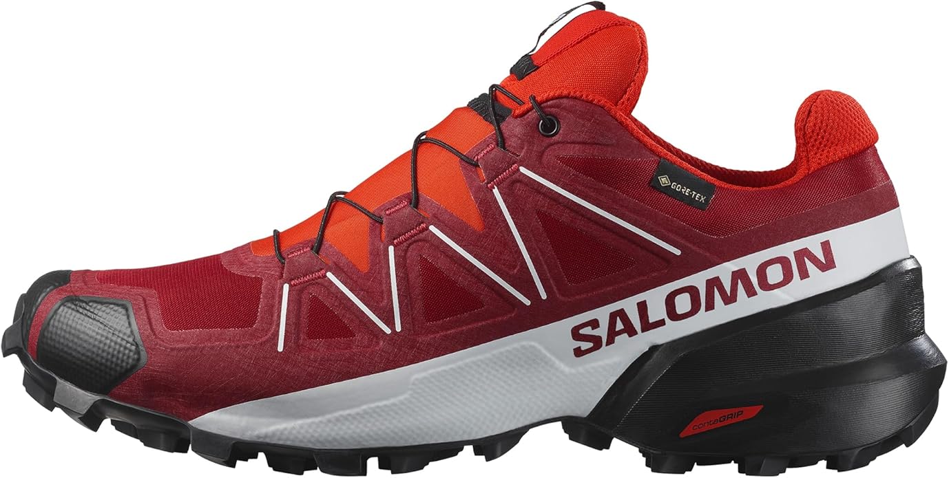
Salomon Speedcross 6
La zapatilla de trail más versátil de Salomon, ideal para terrenos técnicos y barro. Agarre excepcional con suela Contagrip y amortiguación EnergyCell+.
Salomon
Salomon Bonatti WP
Chaqueta cortavientos impermeable ultraligera (135 g). Costuras selladas, capucha ajustable y ventilación trasera. Se pliega en su propio bolsillo.
Tips
- • Zapatillas de trail con buen agarre: terreno variado con hierba y sendero
- • Chubasquero ligero: abril en la costa cantábrica es impredecible
- • No se necesitan bastones: desnivel moderado y terreno no muy técnico
- • Gorra o visera para los tramos expuestos al viento
Nutrición para el Trail Cabo de Ajo
NutriciónTrail de 22K con 800 m D+ a ritmo moderado. Avituallamientos en ruta.

Maurten
Maurten Gel 100
Gel de hidrogel con 25g de carbohidratos. La tecnología de hidrogel encapsula los carbohidratos para una absorción sin molestias gástricas. Sabor neutro, sin edulcorantes artificiales. Usado por corredores de élite en maratón y ultra.
226ERS
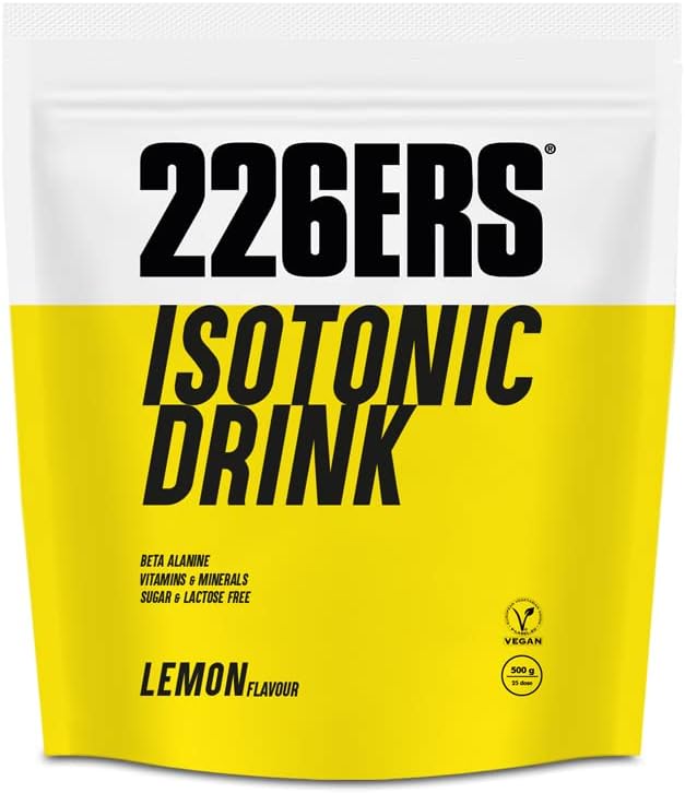
226ERS Isotonic Drink
Bebida isotónica en polvo de la marca española 226ERS. Aporta carbohidratos, electrolitos y minerales para mantener la hidratación durante el ejercicio. Fórmula con amilopectina para absorción rápida sin molestias digestivas.
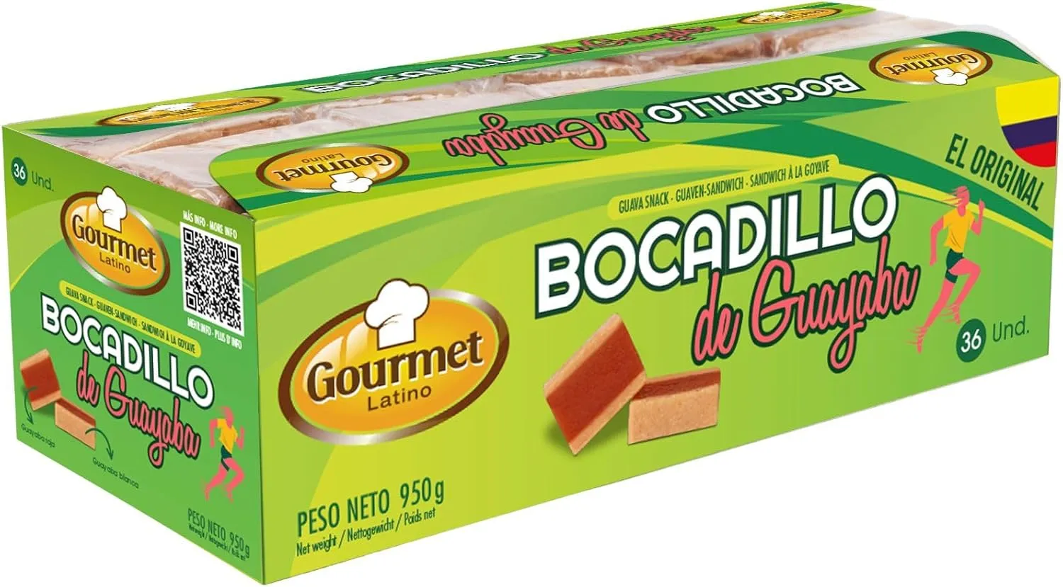
Gourmet Latino
Bocadillo de Guayaba Gourmet Latino
Bocadillo de guayaba natural en formato individual de 26 g. Alto contenido en vitamina C y carbohidratos de rápida absorción. Textura sólida y envoltorio fácil de abrir, ideal para llevar en carrera. Sabor dulce intenso que aporta energía inmediata sin necesidad de agua.
Tips
- • Geles y bebida isotónica suficientes para esta distancia
- • Un par de geles y una soft flask con isotónico cubren las necesidades
- • Avituallamientos en el recorrido para recargar
- • Si vas como andarín, lleva algo sólido (fruta, barritas)
Cómo llegar a Ajo (Bareyo)
TransporteAjo está en la costa norte de Cantabria, a 30 km de Santander.
Browse all transporteTips
- • Aeropuerto de Santander (SDR) a 30 km
- • Aeropuerto de Bilbao (BIO) a 100 km
- • Autovía A-8, salida Beranga, luego CA-147 hacia la costa
- • Parking en la zona de salida (Avenida Benedicto Ruiz)
Alquiler de coche para Ajo
Alquiler de vehículoCoche recomendado para llegar a Ajo y explorar la costa cantábrica.

DRIVALIA
DRIVALIA Alquiler de vehículos por Suscripción CarCloud Country Plus
Suscripción de alquiler de vehículos tipo SUV/crossover, ideal para llegar a carreras de montaña por carreteras rurales y pistas forestales.

DRIVALIA
DRIVALIA Alquiler de vehículos por Suscripción CarCloud City
Suscripción de alquiler de vehículos urbanos, perfecta para desplazarte a carreras con buenos accesos por autovía y carretera convencional.
Tips
- • Santander es el mejor punto de recogida
- • Aprovecha para recorrer la costa: Noja, Santoña, Laredo
- • Aparcamiento disponible en la zona de salida
Seguro deportivo para el Trail Cabo de Ajo
SeguroTrail costero con terreno variado. Seguro recomendable.
Browse all seguroTips
- • Licencia federativa o seguro de día obligatorio
- • Seguro de la Federación Cántabra de Montaña o privado
- • Trail costero: riesgo moderado pero terreno irregular
Cuidado corporal para trail costero
Cuidado corporalTrail con viento marino y humedad. Protección contra rozaduras.
Browse all cuidado corporal
Tips
- • Vaselina en zonas de roce: el viento marino y la humedad favorecen las rozaduras
- • Calcetines técnicos: terreno húmedo y hierba mojada
- • Protege los labios del viento con bálsamo
Protección solar para trail costero en abril
Protección solarAbril en la costa cantábrica: sol intermitente pero exposición al aire libre prolongada.

ISDIN
ISDIN Fotoprotector Fusion Water SPF 50+
Protector solar facial ultraligero de fase acuosa con SPF 50+. Textura fluida que se absorbe al instante sin dejar residuo graso, ideal para aplicar durante la carrera. Resistente al agua y al sudor.

Sun Bum
Sun Bum Sunscreen Lip Balm SPF 30
Bálsamo labial con protección solar SPF 30 en formato stick. Hidrata y protege los labios de quemaduras solares, un punto que muchos corredores olvidan. Sabor a coco, sin parabenos.
Tips
- • Crema solar SPF 50: aunque esté nublado, la radiación UV está presente
- • Protector labial con SPF: el viento costero reseca los labios
- • Gafas de sol si el día acompaña: reflejos del mar
Frequently Asked Questions
- When is Trail Cabo de Ajo 2026?
- Trail Cabo de Ajo 2026 takes place on Saturday, April 11, 2026, starting at 10:00 AM from Avenida Benedicto Ruiz in Ajo (Bareyo, Cantabria).
- What distances does Trail Cabo de Ajo offer?
- Two categories: Runners (22 km with 800m elevation gain) and Hikers (20 km with 500m elevation gain). Both start and finish at the same point in Ajo.
- What is the Trail Cabo de Ajo route like?
- The route runs along the Cantabrian coastline passing through the Ajo Estuary, La Ojerada natural arch, Ajo Lighthouse, Antuerta trails and Punta de Urdiales. Coastal trail terrain with some technical sections.
- How do I get to Ajo (Bareyo)?
- Ajo is in the municipality of Bareyo, on the north coast of Cantabria. Santander Airport (SDR) is 30 km away. Access via the A-8 motorway (Beranga exit), then CA-147 towards the coast.
Similar races
View all similar races →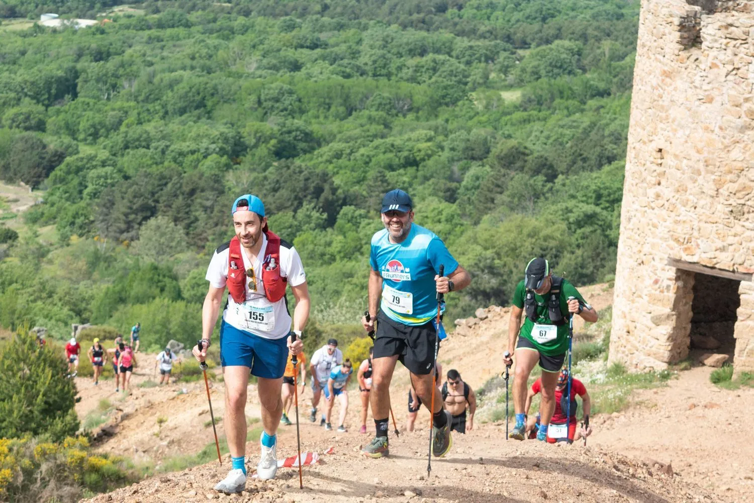
Trail Mina de la Plata de Bustarviejo
Bustarviejo
Trail por la Sierra Norte de Madrid: 3 distancias entre senderos históricos de las minas de plata de Bustarviejo
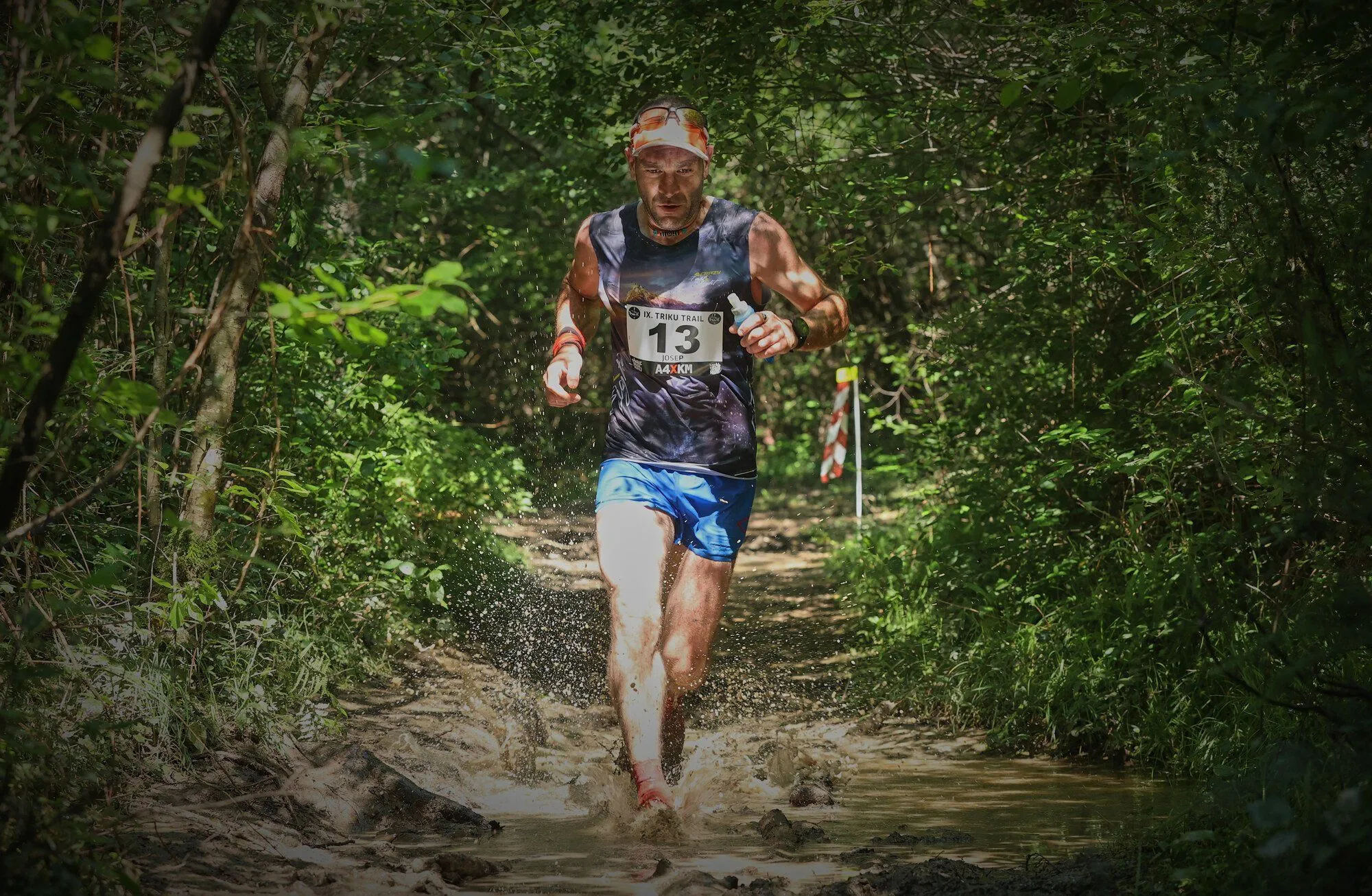
Triku Trail
Etxarri-Aranatz
XII edición de la Triku Trail en Etxarri-Aranatz: 21K y 10K por bosques de robles y hayas junto a 8 dólmenes
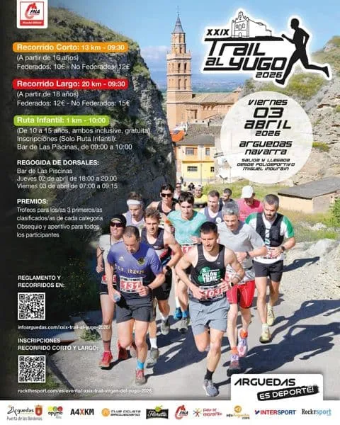
Trail Virgen del Yugo
Arguedas
XXIX edición del Trail Virgen del Yugo en Arguedas: 20 km y 13 km por senderos entre la Ribera navarra y las Bardenas Reales